 Monday’s cycle ride was very much a ride of two halves.
With heavy rain predicted I planned a nice local 20 km route so that I could be home before the rain started.
About 15 km into the ride I reached a point where I could turn for home but blue skies on the horizon, in the opposite direction persuaded me to continue.
Without any plan for an extended ride it was very much a question of following the front wheel.
I’ve become a little familiar with the highways and byways in this area over the past 8 months but it still became something of a mystery tour.
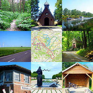
The map below shows my track for the day.
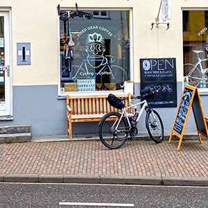
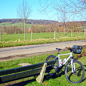
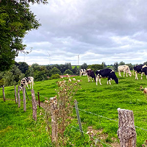
I think the pictures tell the story of the ride, including the torrential rain for the last 20 km.
Today I’ve also been exploring the phone settings on my iPhone.
When I cycle the phone is my navigation device and is secured to the handlebars in front of me.
I also use it for taking all my cycling photos as it’s about three times more resolution than my ancient digital camera.
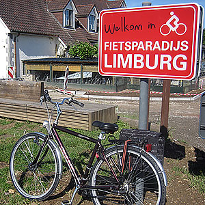
The featured image today is from the German hamlet of Muhlenbach.
This was another really enjoyable cycle ride despite the torrential rain.
![]()